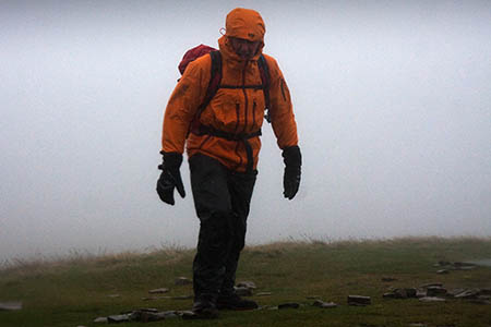
Weather forecasters have issued updated warnings about the impending storm expected to hit southern Britain on Sunday night and into Monday morning.
The Met Office said the most likely track of the storm as it moves from south-western England out into the North Sea will hit Dartmoor, Exmoor, Brecon Beacons and the Peak District.
But it also issued possible alternative tracks, one of which would see the low pressure system take a more northerly track, crossing the Lake District and Yorkshire Dales.
A less likely alternative would see the storm pass to the South of England, with less destructive effect.
The worst wind and rain will be along the southern edge of the depression, where winds up to 80mph are possible at low levels.
Yellow severe weather warnings of high winds and rain are in force for the Lake District, Yorkshire Dales for Monday.
A higher level amber alert is in place for high winds in the Peak District, Snowdonia and Brecon Beacons that day.
The Mountain Weather Information Service said windchill on the mountains could be –10C.
The Met Office said any major storm which occurs in early autumn has the potential to cause widespread severe disruption through falling trees, structural damage, transport disruption or power cuts and possibly flooding.
Chief forecaster Frank Saunders said: “We are confident that a severe storm will affect Britain on Sunday night and Monday.
“We are now looking at refining the details about which areas will see the strongest winds and the heaviest rain.
“This is a developing situation and we’d advise people to stay up to date with our forecasts and warnings over the weekend, and be prepared to change their plans if necessary.
“We’ll continue to work closely with authorities and emergency services to ensure they are aware of the expected conditions.”
The storm is also expected to bring heavy rain for some parts of the country, which also has the potential to cause localised flooding, the Met Office said.
An Environment Agency spokesperson said: “Teams are out working to minimise river flood risk, clearing debris from streams and unblocking culverts.
“We will continue to closely monitor the situation ready to issue flood warnings if needed. We are supporting local authorities who will respond to any reports of surface water flooding.
“Seafronts, quaysides, jetties should be avoided due to the risk of overtopping by waves and wind-blown shingle.”
The storm coincides with the start of half-term school holidays for many areas.
Martin Hobbs the head of asset resilience at the Highways Agency: “We are working closely with the Met Office to monitor conditions ahead of the weather being forecast over the weekend.
“Drivers, especially those considering a trip with a caravan this weekend, are encouraged to think carefully before setting off as driving conditions are expected to be difficult on Sunday evening and Monday.
“If you do have to make a journey by road, be prepared, plan your journey in advance and check the latest weather conditions along your route.
“Be aware of sudden gusts of wind, and give high-sided vehicles, caravans, motorbikes and bicycles plenty of space.
“In the event of persistent high winds we may need to close certain bridges to traffic for a period, so please be alert for warnings of closures and follow signposted diversion routes.”
