The Government’s body on the outdoors has published plans for the latest section of the England Coast Path.
Natural England’s proposals for the section of coastline between Ramsgate and Whitstable in Kent are being made public today, kickstarting an eight-week period for objections or representations.
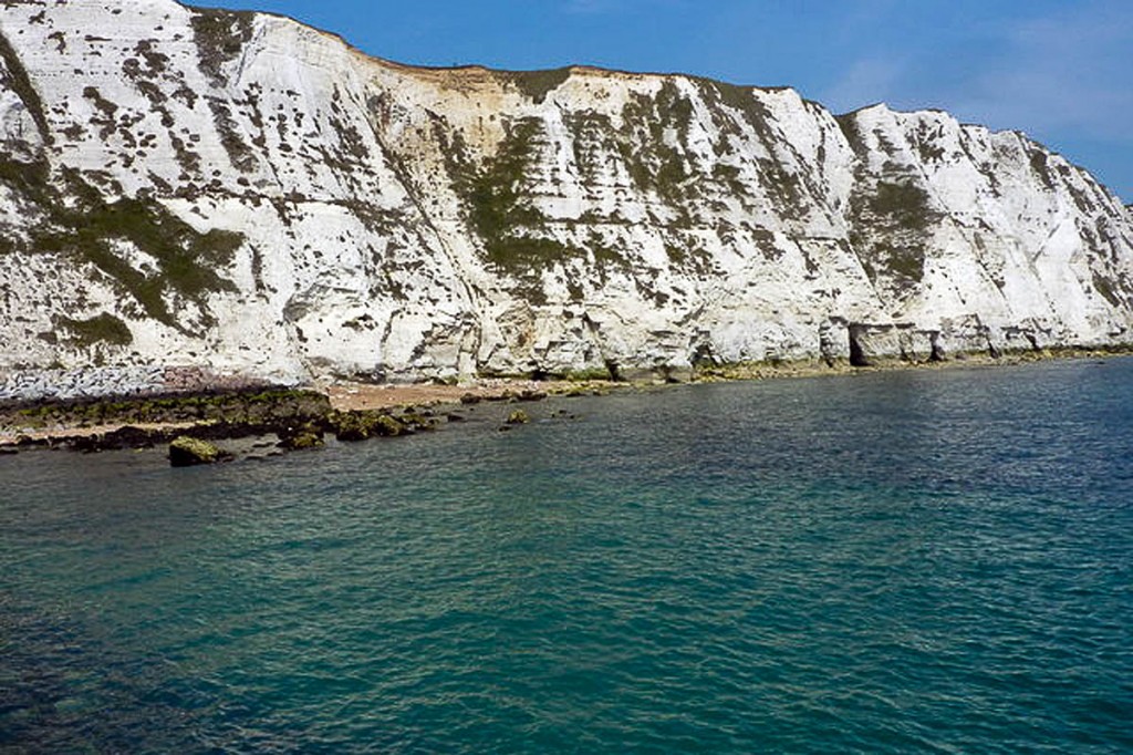
Two days ago, the neighbouring stretch, including the White Cliffs of Dover, was officially approved by the Environment Secretary.
Work on the 59km (37-mile) route along the coast between Folkestone and Ramsgate can now begin. It is the latest addition to the 4,700km (2,920-mile) route encompassing the full coast of England, opening up the shore to walkers and climbers under the Marine and Coastal Access Act, passed by the last Labour Government and which the coalition Government has pledged will be complete by 2020.
This route includes the White Cliffs along with Pegwell Bay national nature reserve where harbour seals haul-out on the nearby mudflats. The trail will make extensive use of existing coastal paths such as the Saxon Shore Way, Stour Valley Walk, Thanet Coastal Path, and the North Downs Way National Trail and will improve access around the Stour Estuary.
It will include new access to the historic site of Richborough port, which played a significant role in campaigns during both World Wars. It will go through Sandwich town, one the Cinque Ports which supplied the Crown with ships and men in medieval times.
Kent County Council will now lead the work to prepare the new stretch of coast path for public use. The first step is to contact owners and occupiers to finalise the design and location of any new infrastructure, such as signs and gates. The new walking rights will begin once the route has been established and any necessary works have been completed
James Seymour, Natural England manager for Sussex and Kent, said: “We are delighted this route, which takes in famous and historic landmarks has been given the green light. I’d like to say a huge thank you to everyone who has been involved in the preparations, as their significant knowledge and expertise has been invaluable in helping to shape the route. We have worked closely with a wide range of local interests in developing the proposals and we now look forward to working with Kent County Council to put the route in place for everyone to enjoy.”
Graham Rusling, public rights of way and access service manager for Kent County Council said: “Having been part of the initial pilot area for coastal access, we are delighted to be able to implement our first stretch.
“The route brings with it some fantastic new recreational walking opportunities from Sandwich, already an important tourist destination. New access along the Environment Agency’s flood protection defences for Stour estuary opens up a significant new opportunities on the doorstep of the Discovery Park business enterprise zone, which can only add to the attractiveness of the area.
“Equally exciting is the fact that tourists from mainland Europe will be able to walk off the ferries at Dover and straight on to the new national trail.”
Proposals for the next section, north of Ramsgate, will be available on the Natural England website from today.
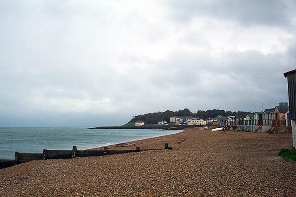
The route includes the resort towns of Ramsgate, Margate and Broadstairs along with Reculver Towers. The route ascends the cliff via The 39 Steps, made famous in John Buchan’s novel of the same name and ends in Whitstable, the setting of the annual Oyster Festival.
The trail will make extensive use of existing coastal paths such as the Viking Coast Trail, The Oyster Bay Trail and the Thanet Coastal Path, and has improved access in places such as Kingsgate where a new path will take walkers off the busy coast road.
Anyone can make representations to Natural England about the report during the next eight weeks. Owners and occupiers of affected land can make objections about the report on specified grounds, which will be considered by a planning inspector before the Secretary of State makes a final decision.
Copies of the report and details of how to respond can be viewed in libraries in Ramsgate, Broadstairs, Margate, Herne Bay and Whitstable as well as Kent County Council and Thanet District Council Offices. Natural England will also display a copy at offices in Ashford.
The full report and all the forms and guidance on how to make a representation or objection within the next eight weeks will also be available on Natural England’s coastal access webpages.
All representations and objections must be received by Natural England no later than 5pm on Wednesday 20 May 2015
Mr Seymour said: “Over the next eight weeks, we are inviting all organisations, farmers, local residents, visitors and businesses to have their say. It’s important that all responses are taken into account and we look forward to hearing people’s views.”
As well as recommending new sections to the route, the report outlines improvements to existing access to the coast between Ramsgate and Whitstable.
Last year, stretches were fully opened in Cumbria, Durham and Norfolk.
Natural England recently published a map which shows where and when coastal access will be improved over the next five years.

