The United Kingdom’s highest mountain just grew by a few inches.
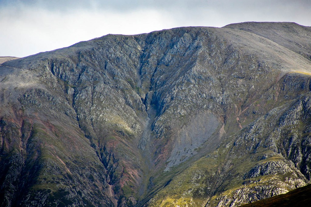
But a sudden tectonic upsurge hasn’t hit the Highlands of Scotland; rather, Ben Nevis has been remeasured and found to be a little bigger than previously believed.
A new survey by Britain’s official mapping agency revealed the Ben is 21 inches taller than originally thought.
The new height, calculated using a highly accurate Global Positioning System receiver means the Lochaber mountain will officially be recorded on maps rounded up to 1,345m, one metre more than its old altitude.
Ordnance Survey calculated the new measurements on the summit of the mountain recently. The last time Ben Nevis was surveyed was 67 years ago.
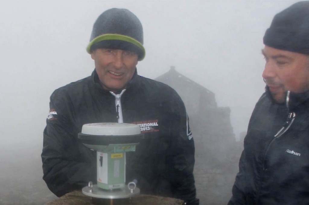
Field surveyor Angus Hemmings was one of three who ascended Ben Nevis to take a new measurement. He said: “We were asked to check if the recent repair work to the cairn had affected the position of the trig pillar, and this provided us with a sensible opportunity to resurvey the summit.
“It was raining, sleeting and snowing at the summit, but harsh weather doesn’t affect our equipment or readings. What it did do though, was give me a greater sense of respect for the 1949 surveyors.
“Each day they hauled 200lbs of equipment up Ben Nevis and its surrounding mountains. They also had to wait till night, because strong lights were shone from the trig pillars of the other mountains on to Ben Nevis’s, which enabled them to collect their data.
“It took the surveyors 20 nights, because they only had three clear nights in that period to get it right. To do the best possible job it had to be run with military precision, everything they did had to be timed to perfection. Their effort and accuracy is remarkable.”
The new measurement was achieved by positioning a geodetic-survey-grade GPS receiver at the summit of Ben Nevis for two hours of constant data communication with satellites orbiting the earth. Data was taken back to OS head office in Southampton for vigorous rechecking, before the new measurement was confirmed.
Mark Greaves, Ordnance Survey’s geodetic consultant, was the first person to discover Ben Nevis had grown. He said: “The new height relates to the highest natural point on the summit and was measured as 1,344.527m.
“I double checked everything and asked others to do so too. What is amazing is how close the surveyors in 1949 were. The measured height has changed by centimetres, but those centimetres mean we now need to round up rather than down. So that’s why Ben Nevis will now be officially known as 1,345m.”
OS marketing director, Nick Giles, says: “This year OS celebrates 225 years of delivering the most accurate portrait of Great Britain.
“It is a testament to the data-collecting skill of all our surveyors, not just those hardy seven measuring Ben Nevis back in 1949, and the constant emergence of new surveying technology, that OS is able to make such a claim. In reclassifying the height of Ben Nevis our map becomes even more precise.
“Now it’s officially taller, I wonder how many will feel tempted to revisit its summit.”
Alison Austin, the John Muir Trust Nevis land manager said: “We are proud to have played our part – along with the Nevis Landscape Partnership and the local contractor Stonescape – in helping Ordnance Survey make this historic revision to the record books.”
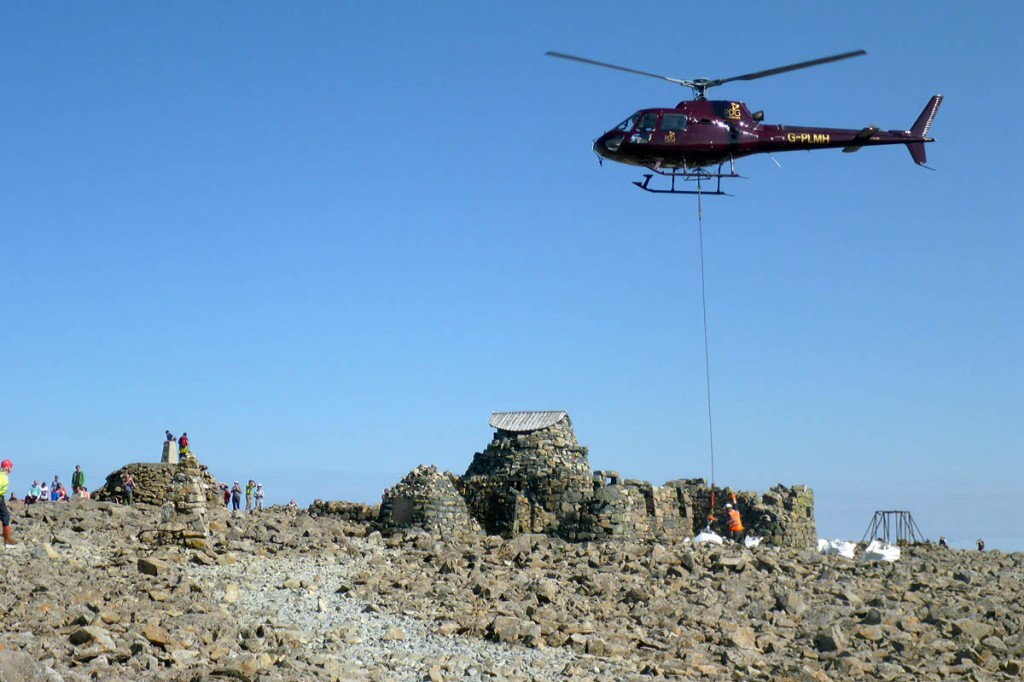
The recently completed restoration work on Nevis also included the improvement of three kilometres of footpath, the upgrading of 16 of the 23 navigational cairns on the Ben, and the cleaning up and repair of the summit shelter.
Ben Nevis, at 4,413ft, falls some way short of some other European Union countries’ tallest peaks. Mont Blanc, shared by France and Italy, stands 4,808m (15,778ft) tall, while Spain’s Mulhacén towers to 3,479m (11,414ft).
The Zugspitze, Germany’s highest mountain at 2,962m (9,718ft) is more than twice the height of Ben Nevis, while Slovenia’s Triglav can also claim to tower to double the Ben’s height at 2,864m (9,396ft).
Ben Nevis is the highest mountain in the British Isles, beating the Irish Republic’s Carrauntoohil by 304m. Denmark comes at the foot of the EU’s altitude table, with the 171m (561ft) Møllehøj.
The highest point in the continent of Europe is Mount Elbrus in Russia, at 5,642m (18,510ft).


Stigofthenest
18 March 2016I thought it felt bigger the last time I was up there.. Those last 3 feet nearly got the better of me.
Reg Prescott
23 May 2016I always think The Ben is quite high relatively speaking as it starts from sea level. I have climbed many higher mountains in The Alps and elsewhere that have a similar vertical difference to Ben Nevis. The reason for this is that they often start from a valley floor that might already be at four or five thousand feet above sea level.