Walkers, runners, mountain bikers and road cyclists can all tailor grough route to their needs
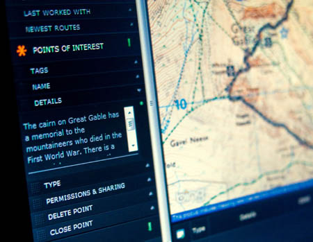
grough’s unique online route-planning system has now been updated with the latest Ordnance Survey mapping.
The OS’s latest release of its 1:25,000 scale maps has been uploaded to the grough route servers, meaning members of the online mapping and route-planning community can benefit from the most up-to-date revisions from Britain’s national mapping agency. The updates come at no extra cost to users.
Since grough route’s launch three weeks ago, its in-house developers have already incorporated extra features suggested by subscribers, including the ability to print its OS maps on A5 sheets as well as A4, and faster rendering of routes as users pan around the maps.
At the request of a subscriber, waypoints are now marked distinctly on printouts; performance in Internet Explorer 7 and 8 has been improved and routes can be locked to avoid inadvertent additions.
Latest routes added to the system include a mountain biking route in the Chilterns, a 17.5km walk around the high fells of Borrowdale and Buttermere, a fell race route in north Wales and a tough walk around the access land on the western fringe of the Yorkshire Dales.
grough route also now features the full 94km route of the Fellsman challenge hike, along with all checkpoints and the ability to time sections and view elevation data and, for gold subscribers, aerial photography of the route.
Subscriptions to the service start at just £27. For that, members get access to Ordnance Survey maps of the whole of Britain at 1:25,000, 1:50,000 and 1:250,000. The system also allows uploads of route data to hand-held GPS units.
For further details and a free trial, visit our grough route page.