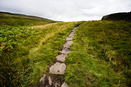
Ancient rights of way face extinction if not recorded
Campaigning outdoor bodies are urging the Government to adopt groundbreaking proposals to protect England’s ‘lost footpaths’.
The recommendations on dealing with the thorny question of rights of way that have not been recorded on official maps have been produced by a working party made up of walkers’ groups, landowners and local authorities.
Both the Ramblers and the Open Spaces Society say the plans, published today in Natural England’s Stepping Forward report, represent the best way to prevent the loss of the historic footpaths and bridleways in England that face extinction, paradoxically under right-to-roam legislation.
The Countryside and Rights of Way Act, that introduced open access areas in England and Wales, contains a cut-off date of 1 January 2026 for rights of way not on definitive maps. After that, any pre-1949 paths not recorded will be lost for public use.
The shambolic Discovering Lost Ways project was abandoned in 2008 after it got hopelessly bogged down in red tape. A stakeholder working group was set up in the wake of this failure, and the fruit of this collaboration is the Stepping Forward report.
But the OSS and Ramblers, both members of the stakeholder group, warned the proposals will only work if the report is adopted complete.
Adrian Morris, Ramblers campaigner, said: ‘The Stepping Forward measures are key to protecting much of our unique, but beleaguered, public rights-of-way network from extinction.
“Many well-used driftways, halterways, bridleways and footpaths were overlooked when councils drew up their definitive maps; that’s no reason for writing them out of our heritage, especially given their value in recreation and health promotion.
“The Ramblers back Stepping Forward as a coherent, whole package of measures only. The recommendations will not work if they are cherry picked.”
Kate Ashbrook, general secretary of the Open Spaces Society agreed. She said: “It is vital that the Government adopts our 32 proposals in total. They are a coherent package of measures to improve and streamline the process for recording public paths. They save time and money and reduce the bureaucracy, while ensuring that our historic highways can be recorded and safeguarded.
“Importantly, these proposals have been agreed by all interests: representatives from user groups, landowners and occupiers and local authorities, so it should be possible to introduce them by a legislative reform order rather than new primary legislation. They improve the process for path claims rather than change the law.
“These recommendations need to be tested for about five years and then reviewed to see if they are having the desired effect. We believe they will make a big difference to getting lost highways on the map, so that they may be used and enjoyed by the public, for recreation and as a vital part of our transport system.”
The OSS also pointed out the importance of the ‘lost highways’. Footpaths, bridleways and byways are all highways. The rule is ‘once a highway, always a highway’, but many routes which are highways have not been claimed as such so are not shown on the official map. If they have not been used for many years, they may only be claimable by submitting historic evidence of their existence.