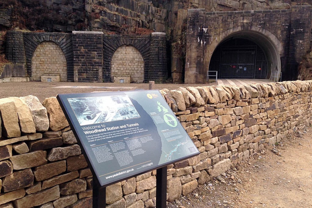
Outdoor enthusiasts using a Peak District route can take a fresh look at its history, after the installation of a new information panel.
The board has been installed near the Woodhead Tunnels on the Trans Pennine Trail, which follows the route of a disused railway line in the area.
The panel, close to the site of the former Woodhead station, tells the tale of the railway tunnels, which are now used by National Grid to carry power lines under the moors.
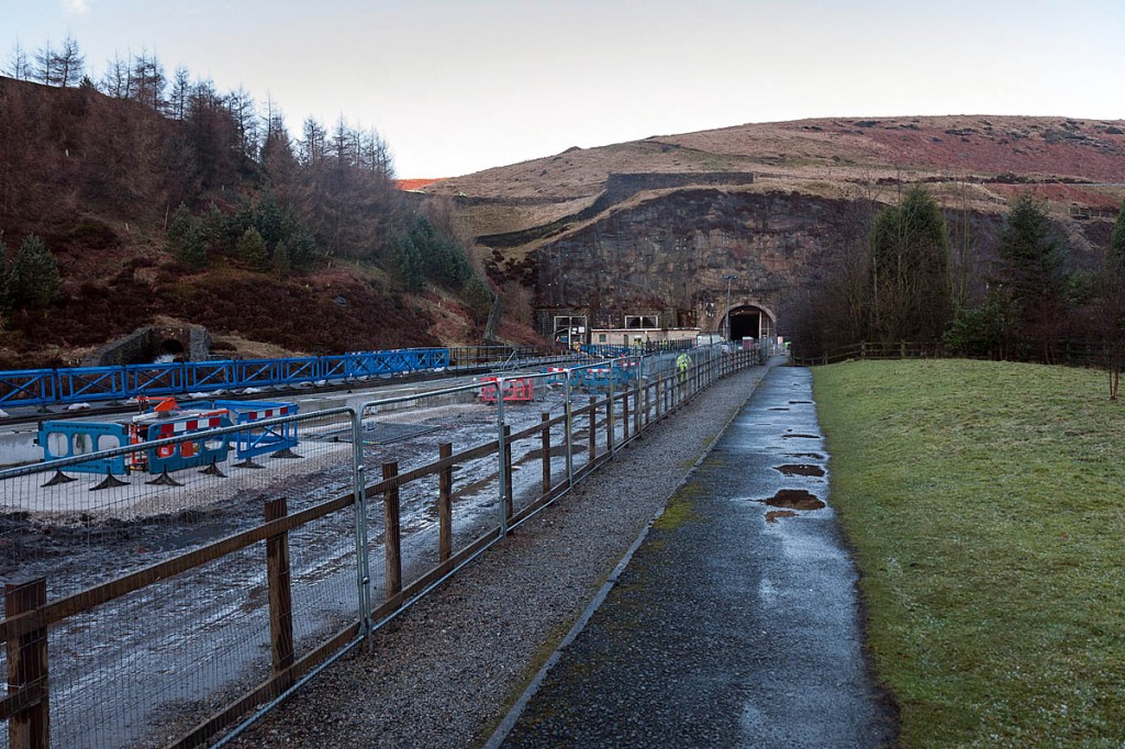
It follows work by National Grid to install replacement cables in tunnel three, which was built in the 1950s. As part of the work, the entrances to two mid-19th century tunnels were sealed and the former station area improved.
National Grid funded infrastructure works and the interpretation panel, which was installed by the Peak District national park’s countryside maintenance team.
Ken Smith, cultural heritage manager at the national park said: “The Woodhead route was a busy railway for nearly 150 years. It was a very important rail link between Sheffield and Manchester.
“The earlier tunnels were used much more heavily than was originally expected, with up to 250 steam trains travelling each way, every day.
“Now the trail is well loved by walkers and cyclists. The work undertaken by National Grid gave us the opportunity to refresh our interpretation panel, part of the Trans Pennine Trail. If folk use their imagination they can really relate to how it would once have been.”
When completed in 1845, the first Woodhead tunnel was one of the world’s longest railway tunnels at three miles and 13 yards (4,840m)
In 1954, an electrified double-track tunnel replaced the twin tunnels. Passenger services closed in 1970 and freight services in 1981.
The Trans Pennine Trail runs from Southport in Merseyside to Hornsea on the east Yorkshire coast, and makes extensive use of disused railway lines along its 333km (207-mile) route.

