Outdoor enthusiasts are being warned their Global Positioning System receivers may be affected by military jamming exercises.
Walkers on Salisbury Plain could have their GPS signals put out of action in July when a 10-day exercise begins with jamming on weekdays between 7am and 8pm.
The area affected is centred 2½km east of the village of Chitterne in Wiltshire and the exercise will run from 2 July to 11 July inclusive. An area up to 5km from the jamming centre could be affected, Ofcom, the Government’s radio communications body warned.
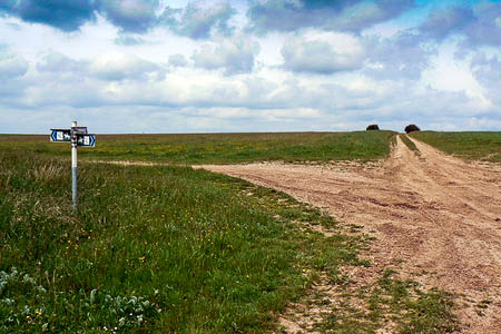
The eastern section of the Imber Range Perimeter Path runs through the area where the jamming exercise will take place. The path skirts the firing range centred on the village of Imber, which was evacuated by the Government during the Second World War for military purposes and is still uninhabited.
A second jamming exercise will take place in September around the Spadeadam range on the Cumbria-Northumberland boundary.
GPS signals may be affected here again from 7am to 8pm for five days starting on 10 September.
The jamming, centred on the UK’s Electronic Warfare Tactics Range at RAF Spadeadam, will also affect signals within a 5km radius of the former Blue Streak missile range.
In both cases, walkers and other outdoor enthusiasts are warned they will have to rely on conventional map and compass navigation.
