 The Open Spaces Society is backing one of its members in his battle with a county council over a right of way.
Alan High forced a U-turn when the Environment Secretary overruled Hampshire County Council’s decision not to place on the official map a byway at Longparish, near Andover.
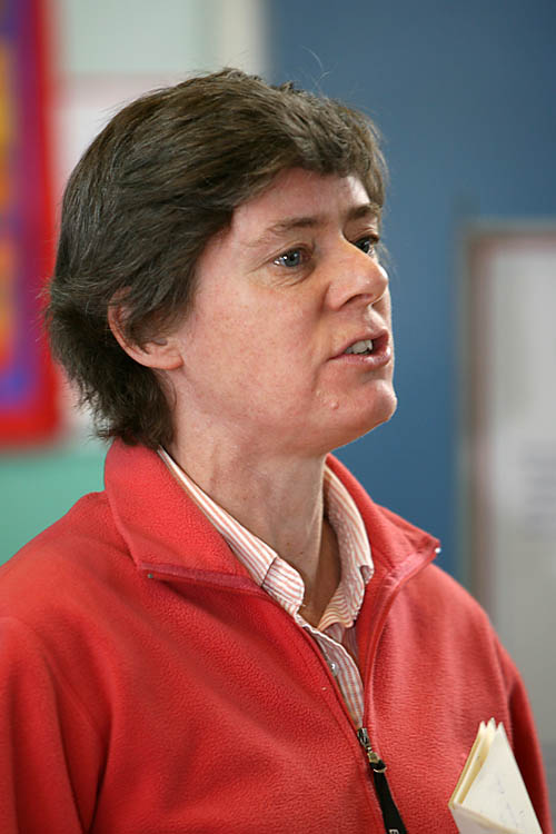
Kate Ashbrook of the Open Spaces Society
However, the case is now likely to go to public inquiry, because of the council’s opposition.
The case involves a route at Upper Mill in the village. Mr High presented evidence that the route, using a ford through the River Test, had been in public use, but Hampshire council turned down the claim.
Kate Ashbrook, general secretary of the Open Spaces Society, said: “We believe that Mr High has got it right, and that the route should be shown on the definitive map as a byway open to all traffic.
“He has demonstrated that the path was shown as a public highway on the important 1929 ‘handover map’, and subsequently on the county council’s second edition of the official map of public rights of way in 1957.
“The route mysteriously disappeared from subsequent editions of the official map, although there was no official closure or diversion order. We believe it should still be shown on the map.
“After the Mill had deteriorated, the owner allowed the public to pass through the Mill Yard and to cross the river via his private, brick, bridge. This then became the preferred way of crossing the River Test.
“However, the route through the ford was never closed by legal event and remained available for use by the public as an alternative crossing point until 1994-5. At this time the route was closed to allow the brick bridge to be repaired and was never reopened.
“We hope that local people will support the claim to restore this route, and will write to Hampshire County Council’s chief executive.”
Deadline for representations is 1 February.