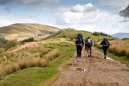
Wales’s official outdoors body said the deadline for representations on open access land is approaching.
Outdoor enthusiasts who want to comment on the proposals have until 23 November to make their view heard.
The Countryside Council for Wales is reviewing the nation’s right to roam areas as part of its statutory process. The open access areas were introduced by the Countryside and Rights of Way Act and are subject to revision every 10 years.
The areas cover mountain, moor, heath, downland and registered common land.
Richard Owen, CCW’s mapping review project manager said: “Once the closing day for representations has passed – 23 November – we will study the requested changes and re-map as necessary and appropriate.
“In many cases we will also visit the land in question to review the requested changes to the draft maps.
“Because of the quality of the original mapping work, we don’t envisage dramatic changes, but some changes are anticipated, for example if there have been changes in land use or if boundaries need modifying.”
Provisional maps will be issued in August next year, with appeals possible up to May 2014 before conclusive maps are issued in September that year.
The draft maps can be viewed and representations made on the CCW website and maps can also be seen at national park offices and CCW offices.
Enquiries on the review can be made by email or by calling 0845 130 6229.
