Sales of conventional paper maps produced by Britain’s official mapping agency increased last year, bucking the trend in the past decade which saw people opting for digital versions.
Ordnance Survey said it sold 3 per cent more paper maps in 2014 and the increase is continuing, with a 7 per cent rise this financial year.
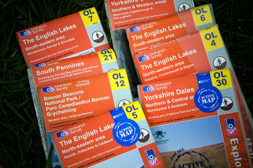
The Outdoor Leisure range is the most popular, indicating outdoor enthusiasts are packing a paper map on their trips into the hills and countryside of Britain. All four maps covering the English Lake District are in the top 10 sellers, but the one covering Snowdon is the most popular, backing up evidence that Wales’s highest mountain is one of the most climbed in the UK.
Nick Giles, managing director of Ordnance Survey Leisure, said: “It’s great to see that sales of paper maps are increasing. We understand that the increase isn’t huge; however, the significant news is the downward trend has been reversed.
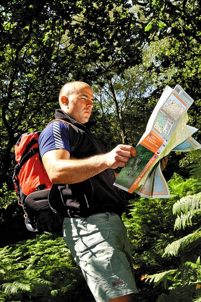
“There’s an emotional attachment to OS paper maps. The detail contained in OS Explorer and OS Landranger maps gives users greater security and reassurance.
“Since the turn of the century we have seen an explosion in the availability of mapping through the internet and mobile devices. Internet mapping has been great at making maps a part of daily life, but too often it doesn’t carry the detail our customers now demand.
“There are times when accurate geographic information is vital. This is especially true when exploring remote and rural areas, and in terms of safety and emergency situations.
“Hopefully people are recognising the vital role which OS paper maps play in supporting digital devices.”
Business minister Matthew Hancock revealed recently that Ordnance Survey would shortly be converted into a government-owned company. It is currently a self-financing trading fund. The Southampton-based agency has also recently announced a new branding, with updated logos.
Conventional paper maps still only represent 5 per cent of OS’s revenue.
Mr Giles said: “It’s clear to us that the paper map can work alongside digital mapping, playing an important role in creating adventures and helping users explore every inch of Great Britain.
“We are always looking at ways of improving all of our products and as technology develops it delivers new opportunities. There are lots of innovations, such as augmented reality, smart paper and new production technology, which have the potential to change the paper map market.”
The top 10 OS Explorer Maps are:
- Snowdon
- English Lakes: south-eastern area
- Peak District: White Peak area
- English Lakes: south-western area
- Peak District: Dark Peak area
- English Lakes: north-western area
- Yorkshire Dales: southern & western area
- Purbeck & South Dorset
- English Lakes: north-eastern area
- New Forest
Top 10 OS Landranger Maps:
- Snowdon
- Penrith & Keswick
- Ben Nevis
- Buxton & Matlock
- Newquay & Bodmin
- North Skye
- Land’s End & Isles of Scilly
- Anglesey
- South Skye & Cuillin Hills
- Dorchester & Weymouth
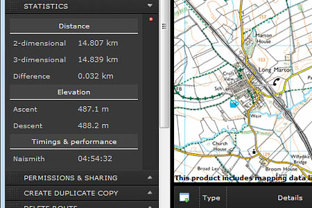
- grough’s own grough route system combines digital online mapping with the ability to print out Ordnance Survey mapping to take with you out on the hills and countryside of Great Britain.
Subscribers to the service can plan a route, save it and print the route overlaid on either 1:50,000 or 1:25,000 OS maps.
Bob Smith, editorial director of grough, said: “We think our grough route system is great value for money.
“An annual subscription of £19.50 gives you access to top quality mapping of the whole of Britain, the ability to share your routes with the outdoor community and produce useful aids such as a route card and profiles.
“It’s specifically geared to outdoor enthusiasts who can also use the 1:250,000 scale maps and OS’s StreetView and VectorMap District products.
“We also have plans to expand the service later this year, with aerial photography included.
“Shorter subscription terms can also be taken out, which are ideal for someone planning a holiday in an area for which they don’t have a map.”
grough is a commercial partner of Ordnance Survey for the system.
More details are on the grough route page.


