Footpaths are at risk of closure or from development where definitive maps have not been produced
Councils are being challenged to wake up and get their maps up to date, on the eve of the 60th anniversary of the law that obliges them to record rights of way.
Sixty years after the National Parks and Access to the Countryside Act became law, many councils have still not fulfilled their obligation to create a ‘definitive map’ of paths and bridleways in their areas. The Ramblers and the Open Spaces Society say it’s time they faced up to their legal responsibility to record rights of way.
The landmark act received royal assent on 16 December 1949, yet councils such as Ipswich, Swansea and Merthyr Tydfil have still not produced definitive maps, leaving footpaths and bridleways vulnerable to development and closure. Other authorities, including Cardiff, Norwich and Plymouth, have only mapped part of their areas.
Inner London Boroughs have not produced definitive maps either, though the act only imposed a discretionary responsibility on them.
Authorities were originally told to update maps every five years, but now there is a rolling programme which is supposed to keep them up to date.
Kate Ashbrook, Ramblers trustee and general secretary of the Open Spaces Society, said: “The unique definitive-map law of England and Wales legally enshrines the public’s right to use paths, and it should be the envy of the rest of the world.

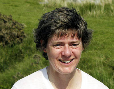
Kate Ashbrook: 'councils dragging their feet'
“It’s scandalous that many councils have spent six decades ignoring it.
“The 60th anniversary of the definitive-map legislation serves as a wake-up call to councils who are dragging their feet. We are challenging these councils to protect their paths and put themselves ‘on the map’, before another anniversary rolls round.
“Justice delayed is justice denied. Public rights of way are some of the most ancient features in our landscape and we have the right to enjoy them, but if they are not shown on the map how can we know this?
“And if they are secret they have little protection from obstruction or development. So the definitive map needs to be funded properly, to ensure it is complete and kept up to date.”
Claims to add paths to the map can be made at any time, on the basis of 20 years use by the public, without being challenged, or on the basis of historical evidence, that the path was once a highway and its status has not been removed in law.
The National Parks and Access to the Countryside Act was the culmination of a long campaign by walkers’ and ramblers’ organisations for rights to walk on open land in England and Wales. It led to the setting up of the country’s national parks.