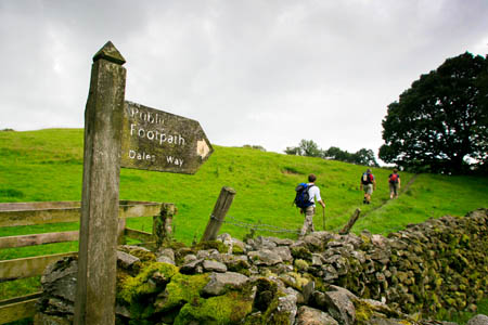
Walkers near the end of the Dales Way
Walkers on the Dales Way will be safer after a national park authority negotiated an off-road right of way near the end of the 129km (80-mile) route.
The new footpath is one of two new rights of way created by the Lake District National Park Authority which, it says, have been obtained by co-operative working between the national park’s countryside services team and the local communities.
The 120m section at Cleabarrow near Windermere runs alongside the Bowness to Crook road and will enable walkers tackling the national trail, which starts in Ilkley in West Yorkshire and ends at Bowness, to negotiate the section more safely.
Another route in the North of the national park is a bridleway running from Fell Side to Calebreck over Caldbeck Commons, in the shadow of High Pike and Carrock Fell.
The authority said the 5km (3-mile) route is the first off-road route for horse riders and cyclists linking the two settlements and will provide excellent views of the Lake District’s northern fells, the Solway Coast and the northern Pennines.
LDNPA access adviser Claire Redhouse said projects like these help to set a good example of what can be achieved by working together and often encourage other landowners to allow even more rights of way work in the future.
“We are continually working to improve access to both the existing public rights of way network and by creating new routes,” she said. “These changes and improvements will, I am sure, be greatly valued and appreciated by both local people and visitors to the national park.”