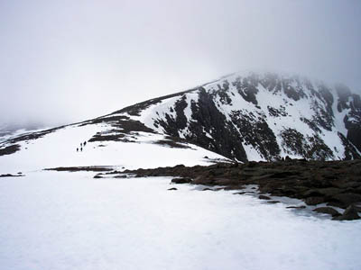
Parts of the Highlands are at high risk of avalanche, experts have warned.
With much of Britain in the grip of early winter conditions, the sportscotland Avalanche Information Service has swung into action almost three weeks sooner than planned.
Slopes aspects from the North-West to the South-East above 600m are at high risk of avalanche in the northern Cairngorms, meaning the snowpack could break away naturally, without being triggered by human presence.
SAIS bloggers said avalanches had been released either on Friday or overnight in Coire an t-Sneachda on Cairn Gorm. The avalanche had enough depth to bury a small car, according the observers, and had travelled 350m down the mountain, with a width of 100m.
The avalanche experts warned there will be continued snowfall and cold temperatures, and the snowpack condition is likely to stay as it is. Buttresses are covered in ice.
In Lochaber, there are localised areas where avalanche risk is considerable, on westerly to south-easterly aspects above 1,000m. Cold conditions and little expected new snowfalls are likely to maintain current snowpack and stability at present levels.
The SAIS introduced a limited weekend-only service for Lochaber, which includes the popular climbing routes on the north face of Ben Nevis and on Aonach Mòr, and for the northern Cairngorms, including winter honeypots such as Coire an t-Sneachda and the routes above Loch Avon.
Normal daily service for the five Highland areas, including Glencoe, southern Cairngorms and Creag Meagaidh will begin on 16 December but, with many climbers, hillwalkers, mountaineers and skiers heading for the mountains to take advantage of the early start to winter, there will be reports and forecasts for the next two weekends.
The Mountain Weather Information Service said there was a risk of severe conditions on the tops tomorrow, with blizzard, whiteout and gusts of wind up to 50mph, with accompanying severe windchill of –22C.
Further snow showers are likely to affect eastern mountains in the first half of next week, with only partial thawing on lower levels.
South of the border, a little early snow is possible but the Lake District is likely to have plenty of bright and cold weather but winds could be strong, particularly if an intense low pressure area over the Irish Sea tracks close to land, and Snowdonia is least likely to suffer high winds, with early snow showers dying out to give prolonged clear and cold periods.
The roads around Aviemore have been affected by heavy snow and police are advising against using the A95, though it does remain passable. The A939 between Grantown on Spey and Tomintoul is closed due to heavy snow, as is the B9007 between Ferness and Carbridge.
