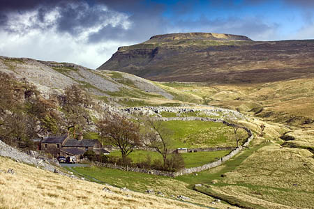
From Ingleton (Storrs Common)
Distance: 4.5km (2¾ miles)
Ascent: 540m (1,772ft)
Navigation: easy
Strenuousness: gentle ascent until final, steeper 500m
Trickiness: straightforward, apart from a couple of easy steps across limestone near Greenwood Pot
Limited parking is available in laybys at the side of the main B6255 Ribblehead road at Storrs, including a few in a small disused quarry beyond the last house on the left.
If these are full, park in the village, where there are also toilets, and walk up the road to reach Storrs Common.
Take the track, Fell Lane, which rises steeply from the road and soon eases as a walled track rising slowly for 2km until open countryside is reached.
The farmstead of Crina Bottom is passed on the left. A smooth, grassy path leads past the farm, then moorland, sometimes wet underfoot, sets the mood until a rockier section begins as the path zigzags through first another limestone band and then the final gritstone to reach the summit close to the remnants of the hospice.
A few metres more and the walled shelter is reached, close to a large untidy cairn and the Ordnance Survey trig column.
If descending by the same route, head for the hospice ruins to find the path back to Ingleton.

Paul Williams
04 January 2011great photo - lovely color