 The Scottish Avalanche Information Service gets rolling this month.
The first reports for the season are due to be posted on 15 December, covering Lochaber and north Cairngorm, with Glencoe, south Cairngorm and Creag Meagaidh a week later on 22 December.
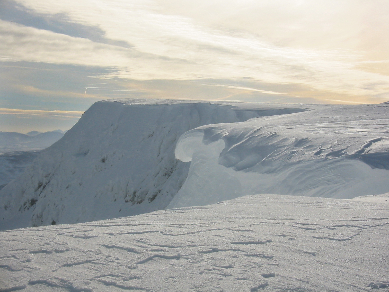
Cornice on Aonach Mor (above)
The reports, using information from the five areas covered, are usually posted around late afternoon. It’s important to get the most up-to-date forecast. Lochaber observations come from Ben Nevis and Aonach Mor and northern Cairngorm from the northern corries and Loch Avon basin.
For Glen Coe, the data comes from the glen itself and Glen Etive; Creag Meagaigh from the mountain itself and some surrounding hills and for southern Cairngorm observations are made on Lochnagar and in Glenshee.
Degrees of danger range from category 1 – low to category 5 – very high. Forecasts usually give information for the typical risk from different slope aspects and angles, but winter mountaineers should be competent in assessing avalanche risk locally by, for example, a rutsch block test.
The Internet seems to be the favoured way of getting the forecasts, since the telephone service was stopped. Forecasts are usually posted in pubs, climbing shops and such like, in the areas covered.
The SAIS site also gives useful advice on avoiding avalanches and likeliest conditions for their occurrence.
Click on grough’s weather links on the left-hand menu to navigate to the site.