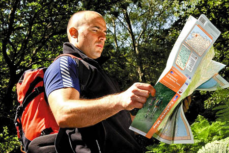
Uncertainty surrounds the future of OS's most popular mapping for walkers and outdoor enthusiasts
A public consultation on the future of Ordnance Survey mapping failed to materialise this week.
Despite assurances from a Government minister that the 90-day exercise would start this week, there has been a deafening silence on the matter. The consultation was due to start in response to Gordon Brown’s November announcement with worldwide web inventor Tim Berners-Lee on his Making Data Public project.
The Department for Communities and Local Government was scehduled to open up the issue to public debate this week, with interested parties having three months to make their submissions. Minister Ian Austin told Parliament he expected the consultation to start in the week beginning 14 December. The consultation would also reveal which map data the Government proposed freeing.
In November, a spokesperson for the DCLG told grough emphatically the mapping in question would not be: ‘the type of map you would use for a walk in the Peak District’. Yet the official announcement referred to mid-scale mapping, which OS defines as maps in the range 1:10,000 to 1:50,000 – exactly the most useful scales for walkers, mountaineers, cyclists and mountain bikers – offering the tantalising prospect of free online maps for outdoor leisure use, saving enthusiasts considerable amounts of money yet blowing a hole in the OS budget.
Prospect, the union representing 900 specialist grades, including cartographers, surveyors, IT specialists and marketing staff at the country’s official mapping agency, condemned the confusion caused by the surprise announcement of the Making Data Public move by the Prime Minister.

OS director general Vanessa Lawrence
The union met with OS director general Vanessa Lawrence earlier this month in talks described by Prospect as ‘constructive’. Negotiator Ben Middleton said: “The Government’s approach has, to date, been woeful. There has been no meaningful consultation with key stakeholders prior to proposals being brought forward for public consultation and, it appears, little if any thought, given to how the issues of freeing up data, ownership and business model might be brought sensibly into balance.”
It would appear that the Gordon Brown announcement caught Ordnance Survey on the hop, with all enquiries being referred to the DCLG which told grough the freeing of data referred to ‘scales of 1:10,000 or larger’ which would have precluded the popular, smaller-scale leisure mapping used by outdoor enthusiasts and digital mapping suppliers, including grough through our own grough route online mapping and route-planning system. Commercial partners are eagerly awaiting clarification on a matter that seems to have been dogged by confusion and contradiction.
There was also condemnation on the Guardian newspaper’s Free Our Data blog, which has long campaigned for more Government data, including those handled by OS, to be made available without charge.
Referring to Ian Austin’s statement that the consultation would begin in the week beginning 14 December, the blog says: “That’s this week. This week is almost over. What, it takes a week to launch a consultation? There are international experts who can do it quicker. Meanwhile I tried phoning the DCLG press office (no reply on multiple lines) and emailing it (no response).
“Helluva way to organise a consultation.”
grough once again approached Ordnance Survey for an explanation of the delay in launching the consultation but we were again referred to the Communities and Local Government office, which is the department with overall responsibility for OS.
No-one from the Department for Communities and Local Government had returned grough’s telephone calls or emails at the time of publishing.
James C
21 December 2009The point about scale was I think correct in comments to the previous blog on the subject.
What has become evident since is that there are plenty of existing commercial producers of maps and other location content products and services of various different kinds (A-Z, HarperCollins, AA, Lovell Johns, Anquet, Nicholson, Geoplan et al not to mention TeleAtlas/TomTom and Navteq/Nokia) whose products already compete with those of OS and for whom the release of OS data for free would conceivably constitute anti-competitive behaviour. Some of these do derive their products from OS source material so the picture is confused to say the least. And, as Messrs Shirky, Rosen, Berners Lee et al continue to point out, publishing as a business model based on scarcity is in turmoil.
Plus it may have dawned on HMT that the chief beneficiaries (and some of the loudest advocates) are likely not to pay a penny of tax.
So, to support the justified social value arguments it could well be that it is the original demands from the geoweb of free frameworks by which to collate, anaylse and visualise all those other 1100+ public sector information data sets that comes back into focus - think Boundary Line and postcodes (though Royal Mail will have a view about the latter).
It could be this complexity that has given pause over at CLG.....
Mapperz
23 December 2009OS map data: what happened to the consultation?
23 December 2009
http://www.communities.gov.uk/documents/corporate/pdf/1415413.pdf
better late than never
Mapperz
http://mapperz.blogspot.com/
@mapperz