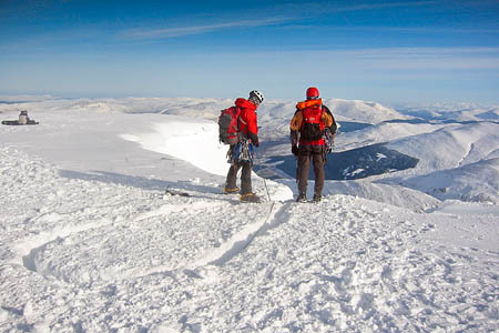
Winter climbers and outdoor enthusiasts hoping for a return to freezing conditions in February may be in luck, forecasters said.
The Met Office has been hedging its bets on its longer-term forecast because of the finely balanced atmospheric state, but its meteorologists now think next month could see some proper winter conditions over Britain.
There is still uncertainty, but Met Office staff are now leaning towards the possibility of much colder conditions anger one of the mildest winters for some years.
Writing on the official Met Office blog, staff explained: “It comes down to whether we’ll continue to see the current pattern of westerly winds bringing in milder conditions from the Atlantic, or whether a high pressure system developing over Russia will extend towards the UK to bring in cold air on easterly winds.
“The Met Office and forecast centres around the world have been studying this situation closely but the 50-50 split on which outcome is the most likely has persisted – until now.
“It now looks as if the scenario for colder conditions is slightly more likely, but our forecasters stress that a lot of uncertainty remains and milder weather could return.”
This lack of confidence in which way the weather will turn is reflected in the forecast for next week and into the following week which says: “At the beginning of the week, although there is a lot of uncertainty, eastern and central areas will most likely see clear and or sunny spells, and scattered showers, these mostly light but locally wintry.
“Westernmost areas will probably see more cloud, with occasional rain. Temperatures will probably be below average, the cold accentuated further by fresh winds from an eastern quadrant. Towards the end of the week and through the rest of the period, a general continuation of the cold weather type seems most likely, but it is by no means certain.
“There is a risk of snow, ice and sharp frosts, with easternmost parts being most prone. However we certainly cannot discount the possibility that mild west to south-westerly winds will return instead, bringing rain at times.”
If the cold-weather bet is the winner, this is likely to continue into the latter part of February, with the East of Britain being particularly affected.
However, the meteorologists are stressing their continuing uncertainty on this too, with mild Atlantic air also possible.
The independent Mountain Weather Information Service also reflects the uncertainty for next week, saying: “A vast pool of cold air over Europe may well early next week reach the North Sea, with around 50 per cent chance of it enveloping Britain, at least temporarily.
“The colder weather is most likely over England and Wales. It may briefly extend into Scotland, but the likelihood is of milder intermittently wet conditions returning to the Scottish Highlands, particularly the North.”
Meanwhile, the thaw over the Highlands has ended and avalanche risk dropping from today’s high levels to low or considerable risk over all areas. Full details are on the sportscotland Avalanche Information Service website.
