A new walking route has opened in a corner of the Lake District hit hard by last year’s floods.
The Ullswater Way offers a waymarked circular path round the lake for the first time.
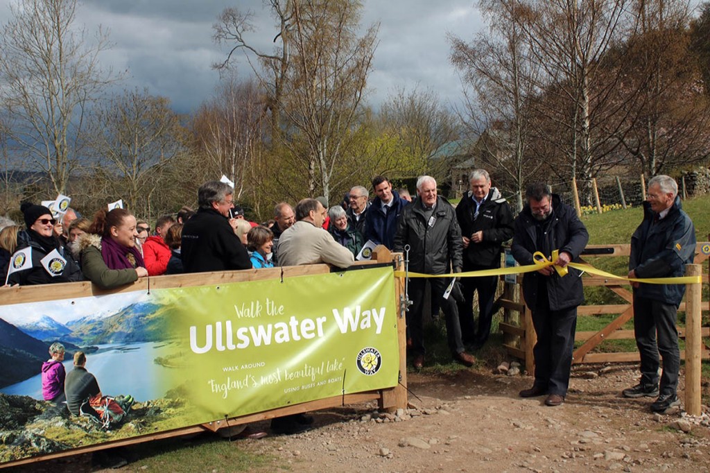
Writer and broadcaster Eric Robson officially opened the path on Monday at Roehead above Pooley Bridge.
Following the floods in December, during which the main road bridge at Pooley Bridge was washed away, and Glenridding was repeatedly inundated, people in the Ullswater area of the Lake District have been working hard to get reconnected and let people know how they are ‘open for business’.
The creation of a promoted circular route around Ullswater has long been an ambition of the community, so a partnership project was put into action between local people and the Lake District National Park Authority, the National Trust, the Ullswater Association, Eden District Council, Ullswater Steamers, and See More Cumbria with additional funding from the Cumbria Waste Management Environment Trust.
Suzy Hankin, area ranger for the Lake District National Park, said: “The Ullswater Way is a fantastic example of people working in partnership on a project that will hopefully give the local economy a much needed boost.
“Ullswater remains a popular corner of the Lake District, yet people tend to explore it in pockets rather than connecting their journey.
“The community around Ullswater wanted to encourage visitors to enjoy the valley’s iconic scenery on foot, but to also utilise links to the public transport network, and hopefully give people a reason to stay for longer.
“Although there were already existing walking routes in the area, there wasn’t a fully connected route around the lake. So we have been working with local people, businesses and landowners to improve access, including a new 2.5km public right of way, and the installation of new waymarkers, fingerposts and gates to make it easier for people to navigate on the ground.”
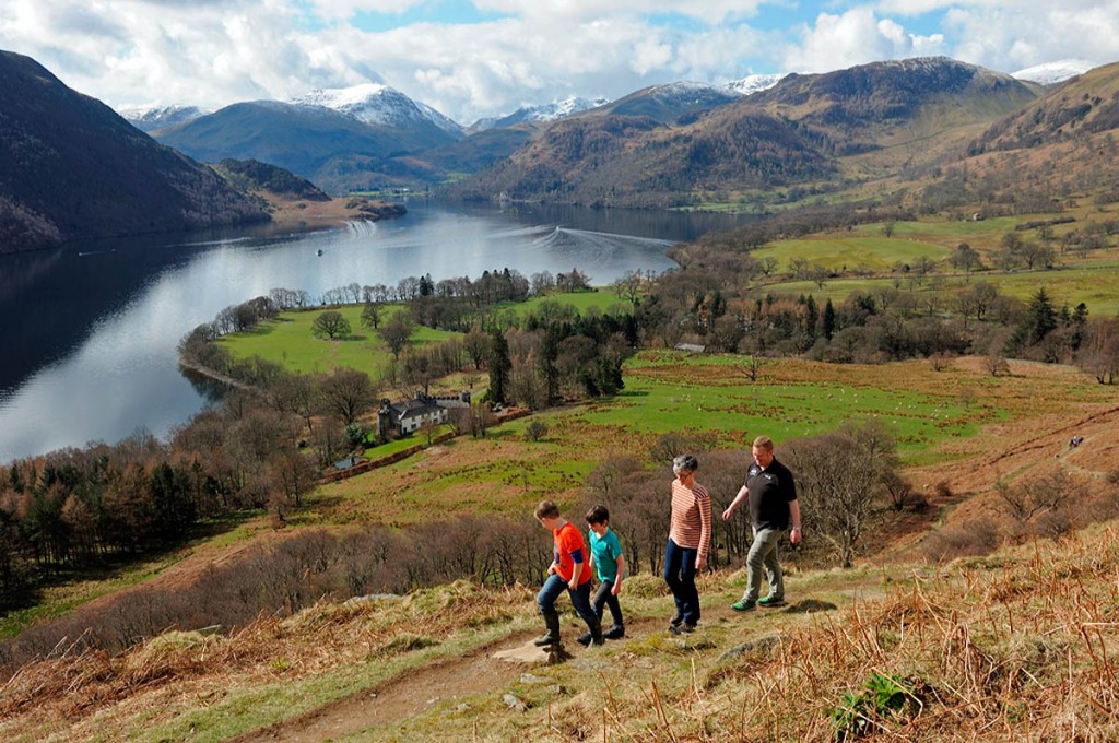
The Lake District authority said the Ullswater Way crosses sections of open fell and farm land, offering visitors stunning views, as well as the path Wainwright described as ‘the most beautiful and rewarding walk in Lakeland’.
“The route also includes a new section of footpath near Maiden Castle, once the site of an Iron Age hill fort, and it now offers spectacular views of the Ullswater Valley, as well as views to the Pennines to the East and Blencathra to the West.”
Jim Walker, from Ullswater Steamers, and chair of the working group said: “Ullswater is famous for its stunning views of the lake and the surrounding mountains, from kayaking to climbing Helvellyn and from the spectacular waterfalls at Aira Force to simply enjoying the local hospitality.
“The Ullswater Way now means long distance walkers can now walk round the full 20-mile route, and those who want to explore at a more leisurely pace can break up the journey by including a trip on the historic Ullswater Steamers or open-top bus.”
A new Ullswater Way leaflet with a map has been created, showing the length and level of the walks, and a video will be available on the Lake District authority’s website and Ullswater site which also has local information to help visitors make the most of the area.


Chris
02 April 2017Last time we did this walk we were harassed by cattle in two fields on the route back near Pooley Bridge. Some months later we returned 02.04.2017 the same route was horrendous basically due to the ground being churned up into a quagmire by cattle. Not an easy walk! Just messy and chaotic!
Jan
09 August 2017love these walks, go nearly every week, great views and excellent refreshments along the way