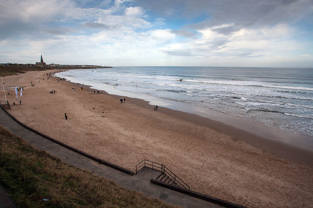
The Government’s official outdoors body has published the latest plans for two stretches of the England Coast Path.
A 42-mile stretch of the shore in north-east England and 16 miles of the Lincolnshire coastline are included in the proposals.
The plans are part of the 2,700-mile (4,345km) coastal path around the whole shore of England, which is due for completion in 2020.
An eight-week consultation has begun on both sections of the proposed path which, if approved, will give improved access to walkers under the Marine and Coastal Access Act.
The stretch in the North-East will run from South Bents near Sunderland to the town of Amble in Northumberland, connecting with the existing open section that runs from North Gare on the Tees to South Bents.
The Lincolnshire path will be established between Skegness and Mablethorpe, allowing walkers to explore the coast between these two holiday resorts.
Objectors and others wishing to make representation on the plans have until 19 May to register their views.
Natural England, which oversees the implementation of the England Coast Path, said the first proposed route passes through the seaside attractions of South Shields, North Shields and Whitley Bay, on towards the industrial South-East of Northumberland and into rural Northumberland.
“The area will be familiar to many and offers an interesting transition from busy urban coastline, to the more tranquil Northumberland coast, so loved by many visitors already,” a spokesperson said. “Walkers will be able to sample the different characters of the towns along the way, all with something different to offer: areas around the Tyne, which are currently benefiting from investments with new developments and renovations at Marine Park, Bents Park in South Shields and the Spanish City development in Whitley Bay.
“From Blyth, which recently hosted the Tall Ships regatta, to Newbiggin, whose ‘Couple’ keep watch over the lovely seaside market town. The stretch finishes in the small fishing town of Amble, which will be familiar to many.”
Brad Tooze, Natural England Northumbria area manager said “This is another great step forward in shaping the next stage of the English coastal path from South Tyneside through to Northumbria, where we aim to provide safe and sustainable access through this amazing landscape.
“The input of the landowners has been intrinsic in helping to shape the proposed route and we look forward to hearing more views from farmers, landowners and local residents over the next eight week consultation period.”
Paul Jones, director of local services and housing delivery at Northumberland County Council said: “This proposed section of the England Coast Path will be a welcome addition for Northumberland. It will assist in boosting local economies for the communities it passes through, and allow more visitors to enjoy everything that this beautiful and diverse section of our coastline has to offer.”
Councillor Moira Smith, lead member for area management and community safety at South Tyneside Council said: “We have worked closely with Natural England to help create and improve the coastal access in South Tyneside from South Bents to the Tyne Ferry crossing.
“I’d encourage people to take part in the consultation and have their say on these important proposals for the South Bents to amble section of the England Coast path.”
Representations can be made via the UK Government website.
The planned section further south passes through the Lincolnshire Coastal Country Park. Walkers will be able to stop at the Sound Tower at Chapel Point and enjoy gazing at the sky in Anderby Creek’s Cloud Bar, learning about clouds.
A Natural England spokesperson said: “There are wide views across farmland and wildlife habitat along the way with sand dunes and wide beaches – you might hear a bittern booming from the reeds on the scatter of nature reserves approaching Sutton on Sea.
“The trail follows promenades, sandy beach, footpaths and permissive ways, giving visitors the chance to explore the coastal countryside between the holiday towns.
“The proposals recommend new and improved sections of coast path but enabling these to ‘roll back’ if erosion or landslips occur in the future, using a simpler and more cost-effective process. If approved, this will resolve the well known and longstanding difficulties with maintaining a continuous walking route along this eroding coast.”
Rob Menzies, Natural England’s area manager for the East Midlands, said: “It is important that we get the views of those affected particularly landowners as well as key organisations along the route.
“Their input has been essential in shaping these proposals and we thank them for their time and comments so far. Over the next eight weeks, we are inviting all organisations, farmers, local residents, visitors and businesses to have their say. It’s important that all responses are taken into account and we look forward to hearing people’s views.”
Members of the public can register their views via the Government website.
